Stokenchurch Dog Rescue
July 2, 2018
DIY SOS
July 2, 2018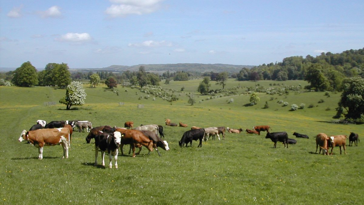
Tring and Wigginton
stile-free walk
A varied and more challenging walk along undulating chalk hills, through beech woodlands and back along the Grand Union Canal. The walk follows a section of the Ridgeway through Wigginton, one of the highest villages in the Chilterns with wonderful views.
Distance: 4¼ miles (allow 2¼ hours)
Start: Tring Station (or the Greyhound Inn, Wigginton, with permission).
Access Information: There is a moderate climb from the footbridge over the A41 to Wigginton, otherwise the route is relatively level.
Refreshments: Both the Cow Roast pub and the Greyhound Inn serve food.
Route: Starting from Tring Station, turn left along the road over the canal bridge and take the first turn on your left into Beggars Lane, also signposted the Ridgeway. After about 200 yards, take the footpath on your right.
- Follow Ridgeway signs to reach the A4251 road, crossing over the road at the traffic island
- then over the bridge to cross the A41 below. Follow the Ridgeway uphill until you reach a lane ‘The Twist’;
- cross over and continue along a footpath until you reach another road on the edge of Wigginton.
- Cross over it and turn left at the end of the row of houses along a path which emerges onto Wick Road; turn left to a road junction then right for The Greyhound Inn
- Wigginton was at one time an estate village housing workers from Lord Rothschild’s estate at Tring Park. Almost on the opposite side of the road to the Greyhound Inn you will see a public footpath sign pointing down one side of Lewin’s Farm. Follow this across fields and through a wood, (signed Chiltern Way) until you reach another footpath at a ‘T’ junction. Turn right (signposted ‘Public Footpath to Cow Roast’) and down a concrete track to the road. Turn left to go through the tunnel
- under the A41, then immediately right along a byway to go past Tinker’s Lodge on your left and continue to the A4251 and the Cow Roast pub, once a stop-off for cattle on their way to London markets.
- This is the highest section of the Grand Union canal. The canal was completed in 1797, linking London with the coalfields of the Midlands. Turn right a short way along the A4251 and, taking great care, cross over and go down the lane, signposted ‘Chiltern Way’, and over the canal bridge. Turn left along the towpath and follow it, passing under a minor road bridge.
- After about half a mile, go up the steps to reach the road bridge over the canal
- near Tring Station. Turn left along the road to the station.
This walk is one of a series produced by the Chilterns Conservation Board. You can download the route map for this walk from www.chilternsaonb.org


